Sunday, August 31, 2014

8/31/2014

Yesterday was moving day again, this time from Lepage Park in Rufus OR to Huntington, OR and Catfish Junction on the Snake River.  On the other side of the river is Idaho again.  We are going to stay here a couple of days & get caught up on laundry and on this blog, among other things.  We are sitting in a very bland place, so not site seeing will be a good excuse to get some things done.

The ride here yesterday was an amazing change in topography, from the river & mountains, and a gazillion trees to a different river and hills with no trees other than the ones directly next to the river.  It is sure different than where we were.  Then last night, after virtually 3 weeks without any kind of rain, we got blasted with strong winds, heavy lightning and hard rains.  The wind first blew from the west, then south, then north.  We had our awning up and with some help from the neighbors, we got it retracted without damage, but it was sure exciting for a while.  Today is sunny & bright with light breezes.  What a difference 12 hours makes.

Stay tuned, this short break will be over soon, and southern Idaho & western Wyoming are on the agenda.

Steve & Barb Larson

Lots of wind power in Oregon too

I-84 getting ready for an elevation change

A lot of nothing


Trees make a temporary return

Lots more of nothing in eastern Oregon

8/30/2014

We decided to try to follow Historic Rt 30 from Troutdale, OR as far east as practical.  We found an amazing amount of waterfalls, very cool lookouts, mountains to drive up and scenery that is as pretty as anywhere.  As we drove Rt 30, I couldn't help thinking about the guys who drove this road in the 30's and the grin on their face as they did.  What a cool road!!  The folks who built it probably enjoyed their work too.  I often think about how much fun it is to build really cool stuff, roads, buildings, rockets, flying telescopes, International Space Stations, etc.  It is the same, whether it is small or large..it is fun.

The weather didn't always cooperate, but we had a fun day anyway.  Our chauffeur, I think, has a fun time too, driving to the top of mountains and back down, driving on a road built in the 30's with hairpin turns and wooden guardrails and stopping at the most inopportune moments so I can get a picture.  So our adventures make for fun days, stops to get ice cream, and visits to some of the coolest spots in America...nice.

Multnomah Falls is the most visited natural attraction in Oregon. Over 2.5 million visitors a year come from every part of the world to view the lush foliage, tall firs, and towering cliffs that form the spectacular backdrop to the second highest year-round waterfall in the United States. Multnomah Falls is the highest waterfall in the Columbia River Gorge with a total drop of 620 feet.

Steve & Barb Larson

Downriver

The view from Chantocleer Point


The ride up Larch Mountain was beautiful


You are supposed to see 5 mountain peaks from here

It was quite a climb from the parking lot


Can you see Mt Hood?  Me neither


The fog kept rolling in...so down we went.


Samuel Lancaster designed the cool road

The view from Crown Pointe


The bridge to Latourell Falls

Latourell Falls


Multnomah Falls

Horsetail Falls


Yep, that is the road we will drive on in a few minutes

The sun peeked out long enough to light up the wind mills


8/29/2014

Today, we will do something that has been on my wish list for 35 years, visit Mt St Helens.  We stopped at the Visitors Center off I-5 on our way from Seattle to Nehalem Bay, but we never saw the mountain.  It is 47 miles from the Visitors Center to the observation place on the west side.  We chose to forgo that drive with the motor home and do it this way, approach it from the east side with the car.  This allowed us a much more leisurely drive and it allows us to view Spirit Lake, something not possible from the west.  It is a longer drive, but given the choice, we are glad we made this decision.  We cross the Columbia at Rufus, OR and take US 14 along the river to Carson, WA...what a pretty ride!!  At Carson, after a climb up out of the Columbia Gorge, we stopped for lunch and then headed north on Wind River Rd and then several National Park roads that were in dire need of some upkeep, but the scenery is beautiful.  Along the way, Mt Adams & Mt Rainier are visible, as well as Mt St Helens.  We get on NP 99, which ends at Windy Ridge (very aptly named), just 3 miles from the base of Mt St Helens.  What a great decision it was to come this way. The results of the blast we all remember are still very visible.  The 1000s of trees blown down are sill laying where they landed. Spirit Lake still is covered by the huge amount of trees that got washed into the lake by the initial massive landslide on the western 1/3 of the lake.  The lake itself is making a nice recovery, although it is 250 higher in elevation.  The lake is both shallower and larger in area.  March 17, 1980 is still a huge part of the ecological development in a huge area surrounding the mountain.  One of the more amazing stories is how herds of elk arrived within weeks of the explosion.  Their hooves broke through the volcanic ash and their waste carried seeds from trees eaten elsewhere.  The seeds, naturally fertilized, grew and replenished the before then dead valleys with new life...these valleys are now covered with new trees.

It was a VERY interesting day.  Seeing how nature has recovered from this seriously devastating event is something everyone should see, if for no other reason than you may never have the chance again, ever.  On the way home, we passed through Hood River.  100s of folks were taking a different advantage of the westerly breezes that blow up the Columbia Gorge, other than wind powered electric production.  They were out on the river wind surfing, sail boarding, and just plain enjoying the day.  We stopped and watched for a while...what a beautiful way to end a day.  Then we drove the final 50 miles back to our camper.

What a fun day!

Steve & Barb Larson

The sun is rising, leaving some cool shadows

Our location on the John Day River
The sun peaking over the mountain across the river


Wind Power to the max

Mt Hood from the Washington side of the Columbia

Pretty drive

We are within 50 miles

Mt St Helens is significantly shorter
Some of the amazing shots from 5/17/80


We are at Windy Ridge, a mere 3 miles away


Spirit Lake is making a nice comeback
The east 1/3 of the lake is still covered with log debris


The dead trees are everywhere
Wind surfers by the 100s


8/28/2014

Moving day again, as we start our eastward trek.  This won't be a long move, but the topography sure will be different.  The Oregon coast has been a fun visit, but it is time to move on...eastward ho?

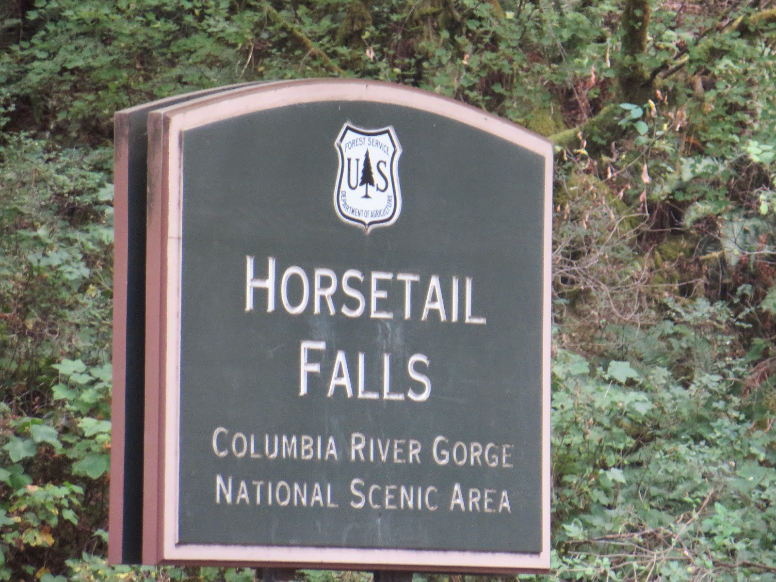
The route our GPS has chosen proves to be both a challenge & fun at the same time.  It seems our choice of location along the coast for our motor home is pretty hard to get to, but that is OK, the location was great. As we move east, we travel through Portland, a city we wish we had time to explore.  Driving through at noon on a Wednesday should be easy, but we end up tied up in traffic through the city, so we are sort of glad to see it in the rear-view mirrors.  Then we rejoin the Columbia Gorge, the real reason for this route. We have never seen it and it has been one of the goals for this trip, so we look forward to exploring it.
Driving along, we see Mt Hood, several huge dams, people using the Columbia for recreation, fishing and other uses, and the reason most of these folks are here, enjoying the beauty of the area.  The folks around here have also discovered renewable resources at its best, hydroelectric and wind power used for electric generation is in place in multiple locations.  Reading about the history of the areas development is as interesting a story as you want to read...discovered in the 1700s, and changed drastically by dam construction, has made this a vibrant shipping and production center...both on the river and the multiple train systems that move products along the river on both sides.  We marvel at how many trains we see, both on the Oregon & Washington side of the mighty Columbia.  And the dams have raised the elevation of the water enough to make waterfalls disappear, making navigation a significantly better choice for shipping up river.  It has made places like Lewiston, Idaho a seaport...amazing.  It is an interesting place to explore.

We arrived at our chosen camp ground in mid afternoon on the John Day River, 27 miles east of The Dalles and just upstream of the John Day Dam on the Columbia.  We are again at an Army Corps of Engineers location, a beautiful location on a river that actually has its own exit off I-84...quiet, peaceful, but at the same time very nicely located.  We like these locations, but there is seldom phone service or Wi-Fi, so we do without.  The price is right too...costs us around $30 for 3 nights.  We highly recommend these if you are looking for campsites.  But they fill up, so reservations are recommended too.  This one was full every night.

Steve & Barb Larson

The pretty but challenging drive from Nehalem to US 26


US 26 from Seaside to Portland

You have to drive through mountains a lot out west
Portland, Oregon's city center


Driving across Bonneville Dam
The spillway is huge too


I-84 eastbound

The Dalles Lock & Dam
Lots of windmills


John Day Dam
Arriving at Lepage Park on John Day River